top of page
Southwest National Parks - 2018
Capitol Reef to
Bryce Canyon
Day 15 - May 4

One more look out our AirBnB window before hitting the road

On our way to Bryce Canyon. We will take Utah Highway 12 all the way. It is one of a select few in the United States designated as an All American Scenic Byway


Ascending into the Boulder Mountains


The Great Western Trail is an all-purpose road that runs from Canada (Idaho) to Mexico (Arizona)


Mostly above the trees


Viewpoint looking south to the Grand Staircase, a vast expanse which includes the Grand Canyon, Canyonlands, Arches, Capitol Reef, Bryce Canyon and Zion


Looking back toward Boulder Mountain

Boulder, Utah


Dramatic landscape changes


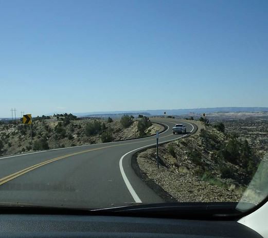
This portion of the byway is called the "Hogback," where the land drops off on both sides of the road

Notice the red rock in the deepest part of the canyon


Calf Creek


Descending toward Calf Creek Campground


Escalante RIver


Climbing the mountain

Head of the Rocks Overlook


Viewpoint within the Grand Staircase-Esclalante National Monument


Large petrified tree at Escalante Petrified Forest


Wide Hollow Reservoir at the Escalante Petrified Forest Trail


The Escalante Petrified Forest Trail


Petrified wood


That's our car down there


Our lunch view

Back on the road

Powell Point - we will see it from many angles in the next few days, including from Bryce Canyon


Eastern entrance into Bryce Canyon National Park

Mossy Cave section of Bryce Canyon


Inside the main part of the Park. Inspiration Point. Powell Point in the background, top left


Ric at the highest part of Inspiration Point


Bryce Point


Plenty of deer here
Bryce Canyon
Day 16 - May 5

This morning we arose early to catch sunrise at Bryce Point


The lighting on the hoodoos (that's what the spires are called) changes so rapidly


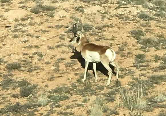
Back on the 18-mile scenic drive, the deer are out for their morning grazing

We drove to the end of 18-Mile Drive, and will work our way back toward the village, stopping at each of the viewpoints. All viewpoints are on the eastern side of the road; this way, no left turns.
This is Rainbow Point


Yovimpa Point


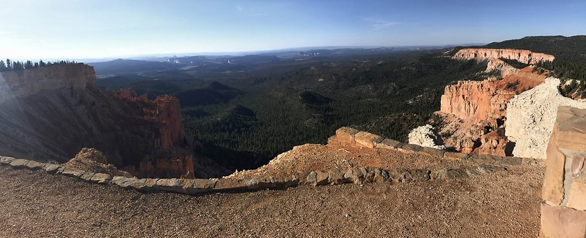


A little snow left from a recent storm. Bryce is the highest elevation park we visited; the plateau is 8,300 feet

Ponderosa Point


Agua Canyon


Natural Bridge


Farview Point

Unknown bridge at Farview Point

Piracy Point

PIracy Point - you can see a recent burn

More evidence of the burn on 18-Mile Drive

Swamp Canyon

Sunset Point - we'll spend the afternoon here


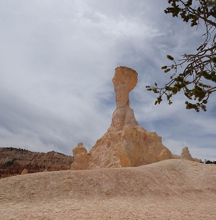
Thor's Hammer


From Sunset Point, Ric hiked the Navajo Loop Trail. Lots of switchbacks to get to the bottom of the canyon

A portion of the loop trail goes through this tunnel. The loop was blocked off just past it - so the hike will be a down and back today


The eyes have it

A level look at Thor's Hammer


More switchbacks


Gonna have to go back up eventually

Two Bridges - see them?

The upper bridge

The lower bridge

On the canyon floor


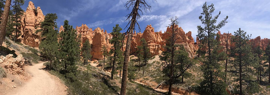


Hoodoo you love? (I didn't make it up)


Back up!


The welcoming party up on top

Sunset Point looking down on Navajo Loop Trail


Sunset Point-to-Sunrise Point Rim Trail

Queen's Garden Trail, which starts at Sunrise Point. We didn't hike this one


Sunrise Point

Sunrise Point, looking toward Sunset Point and the Navajo Loop Trailhead


Queen's Garden Trailhead


At Sunrise Point

Back on the Rim Trail, returning to Sunset Point


Our friend was glad to see us again!
Bryce Canyon
Canyon Horseride
Day 17 - May 6

We had a leisurely morning - breakfast at our favorite Bryce Canyon restaurant, Bryce Canyon Pines, then here at the Bryce Canyon Lodge. We are waiting for our afternoon adventure, a canyon horseback ride.

The corral - our rides await

The head wrangler asked us how much horseriding experience we had. "The last time we were on horses was 35 years ago - right here." No horses for us - we get mules. Kathy's mule is Rachel...

...and Ric's is Ford.


Off we go!


Well, Rachel decided to do what mules do. She wouldn't keep up, and Kathy had to fight her at every turn. Eventually our wrangler had to take Rachel's reins and lead her the rest of the way

Ford was a stubborn ol' coot too, but not near as bad as Rachel


The famous Naked Lady

It looks like a sand dune, but it's hard pack and gravely


Come on, Rachel!



Powell Point in the distance


Ric had started off right behind Kathy, but Ford decided he wanted to go off trail (and down a steep hill) in search of shrubs to eat. By the time Ric got Ford back on the trail, he was last in line


Wrangler: "Ok, Rachel, I've had enough. You're coming with me!"


Ford loved to walk on the very edge of the downhill side of the trail


Little tunnel


Fantastic hoodoos!


Halftime and a water break


Even the wrangler is fighting with Rachel


Hi Kathy!


How is that standing upright?


Back on top!

A successful roundup

Ford: "Get this guy off me!"

Survived and still smiling! Not so sure about Rachel!

Not smiling --- smirking
bottom of page