top of page
Southwest National Parks - 2018
Grand Canyon to
Canyonlands & Arches
Day 6 - April 25

Highway 64 from Grand Canyon to Cameron -
Humphrey's Peak

Indian roadside markets - we saw many of these

Little Colorado River canyon

Lizard

The Navajo American flag

The famous Cameron Trading Post

You can find anything Indian here

Including delicious Navajo Fry Bread - with honey, cinammon and powdered sugar!

The trail to Horseshoe Bend, near Page

Lake Powell

Horsheoe Bend, Colorado River


Boat on the Bend


Near Kayenta, Arizona

In Utah the rest of the trip!

Bluff, Utah - pretty little town

Mushroom Rock, near Moab

Wilson Arch, near Moab


Canyonlands & Arches
Day 7 - April 26

Colorado River in Moab


Entering Canyonlands, Islands in the Sky District


The Monitor & The Merrimac


The Mesa Arch Trailhead


Views from the Mesa Arch Trail


Mesa Arch

No filming the other side of Mesa Arch - it sits on the precipice

The view through the arch is spectacular


Beyond the arch


Notice the morning lighting under the arch


It's prohibited, but you could easily climb on top of the arch and walk across. Pass


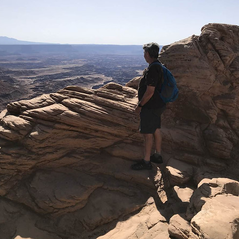
Can't stop looking


Candlestick Tower Overlook

Looking down at a canyon that has another canyon in it

It's fascinating how quickly the landscape changes

Grand View Trail, at the end of the 18-mile scenic drive

The trail is almost all rock, and follows the cliffside 3 miles around the corner on the left

Islands in the Sky is a narrow plateau, sitting high above the plateau below, which then has deep canyons carved into it


The end of Grand View Trail is the end of the Islands in the Sky plateau. There are views in many directions


Looking back toward the Grand View Trailhead


Lone tree

Close to the Edge


White Rim Road winds through much of the lower plateau. It is easily accessible by 4x4 vehicles, but no off-road vehicles are allowed


Grand View Trail is truly grand

Green River Overlook

Is that Half Dome?

Remarkable


Upheaval Dome Trail

Upheaval Dome - the land has been turned inside out


Whale Rock


Shafer Canyon Overlook. Shafer Canyon Road hooks up with White Rim Road

Mushroom rock on Shafer Canyon Overlook

Shafer Canyon


SUV on Shafer Canyon Road

Shafer Canyon Overlook


La Sal Mountains in the background

Outside the park - on the way to Dead Horse Point State Park

Dead Horse Point State Park, with a view of the La Sal Mountains
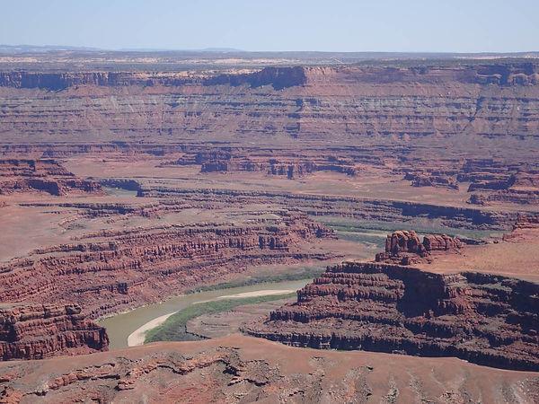
Dead Horse Point, and the meandering Colorado River


Canyonlands & Arches
Colorado River Rafting
Day 8 - April 27

Today we float down the Colorado River!

Taken from the van on our way to the drop-in point. A taste of the countryside we will pass through

Hittle Bottom Campground, where our float begins


Christy, our guide and pilot, giving us safety instructions

The only two floaters for the first half of the day. There are two kayakers who are with us

Off we go! The float will take about 7 hours; we'll travel about 25 miles, heading west toward Moab


The flow this year is very low, about a quarter of average for late April.

We will traverse 4 or 5 rapids, but they are all quite tame


Beautiful red rock formations


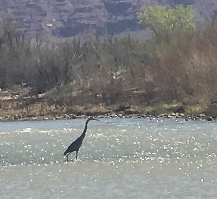
Blue heron

I think she likes it!


Approaching the rapids


Our kayaking friends hit the rapids


The large rocks here came from a major rockslide that occurred just a few years ago

The kayakers want a second rapids ride; back they go!

Christy & Kathy

So red...


Our lunch spot


Arches National Park is on the right

One last rapids before our trip concludes - highly recommended!!
Canyonlands & Arches
Day 9 - April 28

Let's see some arches today!

The 18-mile scenic drive leading into Arches National Park

First stop is Delicate Arch, the signature arch in the park. There is a trail to the base of the arch, but it is long, difficult, and can get crowded. We decided to see it from the lower viewpoints and use our zoom lens


It's pretty early in the morning, so not too many people

I suppose it is "delicate" because it sits on the side of a hill


Devil's Garden Trail - a beautiful trail with amazing arches and other landscape. We'll be on this trail for awhile


A sandy beach tucked between two big sandstone rocks

Tunnel Arch


The trail between Tunnel Arch and Pine Tree Arch


Pine Tree Arch


The pine trees of Pine Tree Arch


Back on the main trail


Landscape Arch. You're going to see a few pictures of this guy


Back on 18-Mile Drive. Skyline Arch


The trail to Sand Dune Arch is narrow and sandy

Sand Dune Arch


On the trail to Broken Arch


Broken Arch
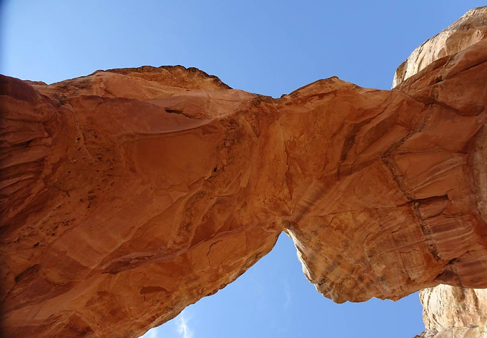

Hi Ric!

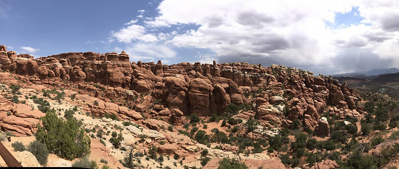
Fiery Furnace

Panorama Point - La Sal Mountains in the distance

North Windows Arch

Unknown arch, just next to the Windows Arches

Turret Arch


Hi Ric!

Looking through Turret Arch to the two Windows Arches

North Windows Arch, South Windows Arch & Turret Arch

Windows Arches

South Windows Arch

South Windows Arch

North Windows Arch

Hi Kathy!

Windblown pompadour


Hi Ric & Kathy!!

Double Arch

Balanced Rock


Petrified Dunes

Courthouse Towers Viewpoint

Courthouse Towers


La Sal Mountains Viewpoint
bottom of page